Toll roads are now supported in the latest version of Vector Map Overlays.
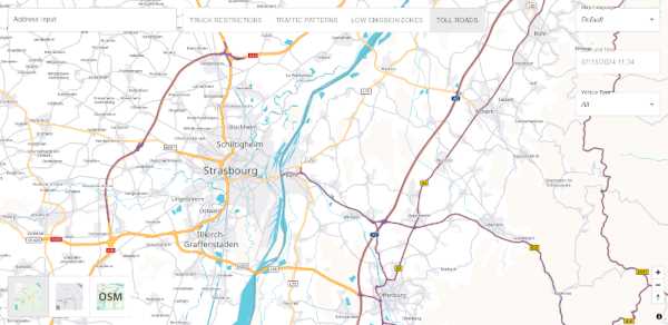
Our tutorial shows you step by step how to do it. Or just try the Showcase. There you can select the type of vehicle, e.g. truck or car. The showcase will then display the toll roads for that vehicle type on the map.
We have created a technical concept to explain the overlays in detail. It includes information about the content of the toll road data and how to integrate the overlay into the vector map.
The Overlay API allows you to explore our vector map overlays.
To keep up to date with releases and news you can use the subscribe button at the top of the page. If you have any questions, please do not hesitate to contact us.