We are excited to announce a new showcase that allows you to experience the power and efficiency of our Batch Geocoding API. The Batch Geocoding is designed to handle large volumes of geocoding requests, making it an valuable tool for businesses and developers who need to process extensive datasets quickly and accurately.
What is Batch Geocoding?
Batch geocoding is the process of converting multiple addresses into geographic coordinates (latitude and longitude) in one go.
How to Get Started
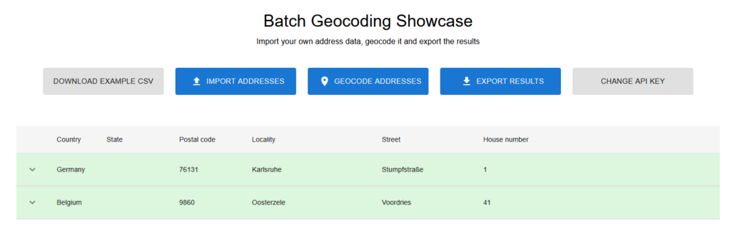
To help you get started, we have created a new showcase that demonstrates the capabilities of our Batch Geocoding API.
Try It Out!
We invite you to try out our Batch Geocoding API and see how it can streamline your geocoding processes. Whether you are managing a fleet of delivery vehicles, analyzing customer locations, or developing location-based services, our API is designed to meet your needs.
Visit our developer portal to learn more and start experimenting with our Batch Geocoding API today!